Māori History & First Colonists
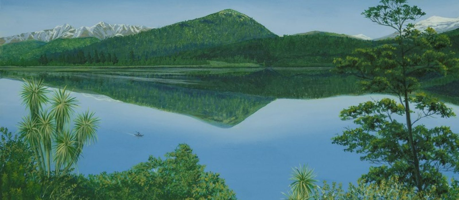
The Māori tribes of Ngāi Tahu, Kāti Māmoe and Waitaha all travelled through and lived in this region over many centuries.1 The lake is Whakatipu Waimāori. Waimāori means freshwater.1 What brought people to the head of the lake near Glenorchy was pounamu (greenstone).1 About thirty prehistoric sites cluster in the Upper Whakatipu, an unusual concentration for Central Otago.2
People came for the stone and worked the seasons: tuna (eels) and other native fish in summer, weka in winter.1 The kāinga (settlements) were established on the flat land. Queenstown Bay was Tāhuna, the Frankton flats held Te Kirikiri, and the flat where Kingston now stands was Takerehaka.1 To the north-west, the Routeburn, the Dart and the Hollyford carried the route through to Martins Bay, Whakatipu Waitai, one of the largest Ngāi Tahu settlements in the region.1 Some Pākehā knew the lake’s reputation long before they saw it: in January 1844 Edward Shortland wrote down from Te Huruhuru that Whakatipu “is celebrated for the ‘pounamu’ found on its shores”.1
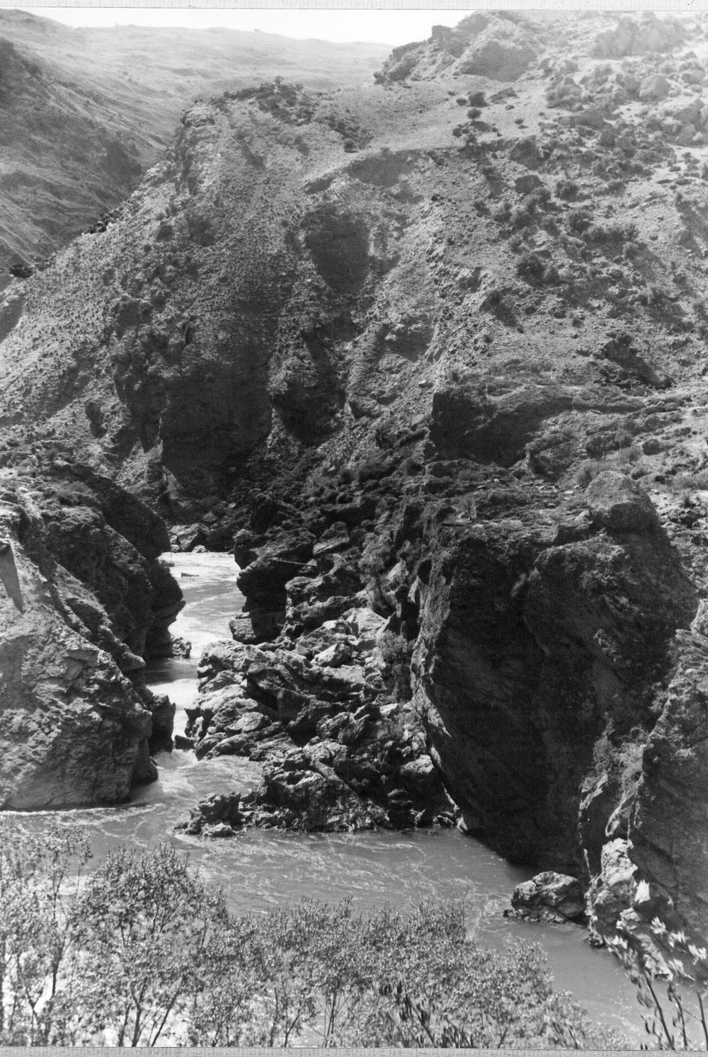
In the 1840s Māori lost ownership of the land due to duplicitous purchases, and the Crown became the owner of what was deemed to be uninhabited or ‘waste’ land. This is why there were no Māori permanently in this district when the first Europeans came in the 1850s in search of land for sheep-farming. In November 1859 William Gilbert Rees applied to the Crown for ‘depasturing’ licences in the district without having been here.3 He and Nicholas von Tunzelmann arrived in January 1860,3 and reached the site of Queenstown.4 Rees then leased the eastern side of the lake and von Tunzelmann the west. They stocked their runs with sheep as soon as they could.4 The reports they carried back to Dunedin in mid-March gave readers of the Otago Witness their first real knowledge of the interior.3 When Rees’s employee Alfred Duncan and party bringing sheep reached the head of the lake, they found what the recent Māori occupants had left still lying there: stake nets, baskets for catching eels, spears.1
Both threads are still on the map, sometimes on the same mountain. Cecil and Walter Peaks carry the name of Rees’s third child, Cecil Walter.3 They were already Kā Kamu o Hakitekura, the twinklings seen by Hakitekura, the young Kāti Māmoe woman who navigated by them when she swam across the lake.1 Frankton was named Te Kirikiri, and kirikiri means gravel.1
Rees and von Tunzelmann set up their sheep stations with a small number of shepherds and other staff. William Rees was joined by his wife Frances (Frankie) and growing family. It was a pioneering life and very isolated, but not for long.
Three stories go further into it: the iwi whose country this was, Hakitekura’s crossing, and the two men whose sheep stations began European settlement.
Stories from this era
Sources
- 'Māori Placenames in the Wakatipu, by Pauline Lawrence', Queenstown Courier No. 104, p. 18-23 (index)
- 'Archaeology & Prehistory of the Upper Wakatipu Region, by Neville Ritchie', Queenstown Courier No. 25, p. 13-18 (index)
- 'William Gilbert Rees: A Biographical Note 1827-1898', Queenstown Courier No. 82, p. 19-20 (index)
- 'Nicholas von Tunzelmann: biography abridged from Alan De La Mare in Southern People', Queenstown Courier No. 83, p. 22 (index)